Arctic blast grips US with life-threatening cold
US National Weather Service (NWS) issued an advisory regarding ‘life-threatening cold’ stretching unto Tuesday for Midland, Bay, Huron, Saginaw, Tuscola, Sanilac, Shiawassee, Genesee, Lapeer, St. Clair, Livingston, Oakland, Macomb, Washtenaw, Wayne, Lenawee and Monroe counties.
The hazardous weather might make the temperature dip up to minus 45 degrees (-42.7 42.7degrees Celsius) with chilly winds dipping it further to 60 degrees below (-51 degrees Celsius) in Montana.
According to the weather advisory issued, gusty north-west winds ranging between 25 to 35 miles per hour might continue dropping temperatures from upper single digits to low tens. Large areas including South Dakota and Minnesota according to the weather service, have been issued an ‘extreme cold warning.’
Most of North Dakota is expecting a dangerously low temperature of 50 degrees Celsius below zero (minus 45.6) apart from cold wind chill.
From Monday to Wednesday, wind chills might range from zero to 15 below in the areas listed in the first para. As per the NWS weather advisory, along The Thumb and southern Lake Huron shoreline, lake-snow effect can bring an inch of snow, while half-an-inch snow is expected in the north of Interstate 94.
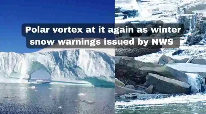
As informed by meteorologists, many states are going to experience the coldest polar vortex this season, which would be the tenth in a succession. The chilly air, which usually stays put near the North Pole, is being pushed into the US and Europe by the weather forces this time in the Arctic region.
For Metro Detroit, the NWS revived a storm advisory unto early Sunday, with northern Michigan expected to receive more than a foot of snowfall.
Michigan is bound to experience extreme weather during the next week and the NWS said that the western part of the state can receive more of the lake effect snow through early next week. Below zero wind chills on Monday and Tuesday are expected for these areas.
Though a weekend, the snowplow drivers at the Oakland County will be on duty as per the statement of the local agencies during the President’s Day holiday. The Road Commission for Oakland County posted on Facebook, “It might be a three-day weekend for some — but not for our snowplow drivers and mechanics! While others relax, our crews will be out keeping roads safe.”
After a wide-ranging system swept across Michigan, the state experienced the latest round of snowfall on Wednesday and Thursday. It totaled around 10 inches in many parts of the state. According to Jason Anglin, a meteorologist with the NWS in Bismarck, this is the coldest month of the year and in many locations the temperatures can dip to record lows.
US, as of now, is under an extreme weather spell as the Arctic winds have brought the polar experience right into the middle of the American continent. Anglin advised the people to remain covered as the body has a higher chance of developing frostbite in these temperatures, occurring within minutes.
North Dakota Gov. Kelly Armstrong on Monday signed an executive order, lessening the number of service hour requirement for the commercial-vehicle drivers carrying propane and petroleum products. Due to the extreme weather conditions, the waiver will be in effect for about 30 days.
North Dakota Pipeline Authority Director Justin Kringstad said that a reduction of about 5% in the oil production is bound to happen due to these conditions. The oil production ranges between 50,000 to 80,000 barrels a day, which is normal in such an extreme weather. The usual volumes return in about a week, once the temperature warms up.
In Michigan as well as Colorado, road travel has been rendered risky due to the ice and snow. Winter advisory has been issued for both areas, especially avalanche warnings for the Colorado Rocky Mountains right from Colorado to Washington state. Numerous crashes were reported on Sunday around Detroit as per the Michigan Police statement on Twitter and Colorado road was about to be closed due to the ice.
The snowfall on Sunday was recorded at 4.2 inches of snow in Washington Township; 3.6 inches in Lake Orion; 2.5 inches in Eastpointe and in Macomb Township; and 2 inches each in Berkley and Livonia. A winter storm warning has been issued by the NWS in Luce County till 1 a.m. on Tuesday, with snowfall reaching up to 6-16 inches. Northwest of Newberry can receive more than this amount.
The NWS has also issued advisories for Presque Isle, Alpena, Alcona, Iosco and Arenac counties along the Lake Huron shore in northern lower Michigan. Nighttime snowfall with the accumulation reaching up to 2 inches, including wind chill values in the area lowering till minus 7. Porcupine Mountains and north of M-28 will receive the heaviest snowfall, the Marquette weather service informed.